Collins Inlet - Pictographs and Spirits of the Stones
- Jul 7, 2018
- 1 min read

Heading back west now in the last part of Georgian Bay, Collins Inlet is a natural rock channel that was historically used by Canada's First Nations people (we call em injuns in Amurika). Adopted for navigation in modern times as the Small Craft Channel, it is a scenic and protected waterway that avoids the bigger water and winds of the open coast. We cruised thru here last year and used one of anchorages along the way to wait out some weather.
Starting from the eastern entrance after a 20 or so mile run in the open waters from "those Bustards", we entered Beaverstone Bay and more of the huge exposed rock island formations of the La Cloche range ("the oldest mountains on the planet", ref last years posts). The north end of the bay narrows to less than 50 feet or so (and less than 10 ft deep) at the east-west running entrance of Collins Inlet. The channel opens up at Mill Lake in the middle then narrows again to the western outlet end where we anchored at Keyhole Island.
This year we explored it a little more and found that ongoing surveys had identified some cultural pictographs.

Of course like the elusive lemurs of St Catherines Island, we never were able to see em..........................

Coming in to Beaverstone Bay


Hmmm some high livin' beavers!


Minks!!


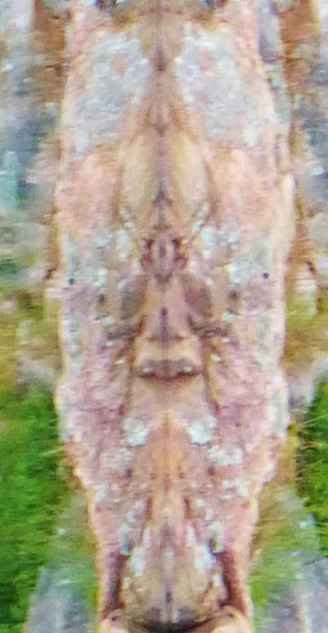
Our last anchorage at Keyhole where we encountered the spirits of the stones.

To "see" the sprits you need to rotate the images 90 degrees.


Comments